 Light detection and ranging (LiDAR) is a powerful remote sensing method used in several important fields and professions, relying on pulsed lasers to measure variable distances. Their components typically include a laser, a scanner, and a global position system (GPS) receiver.
This enables autonomous vehicles to determine the precise distance between them and other objects.
LiDAR reduces costs for agriculturalists by creating 3D maps of land—identifying slopes and sunlight exposure—to help calculate the most productive areas for farming. With it, river surveyors can better monitor floodplains by modeling terrain and underwater depths.
Urban planners lean on LiDAR to capture and forecast pollution data. And in archeology and building construction, it can even be used to build 3D models of structures.
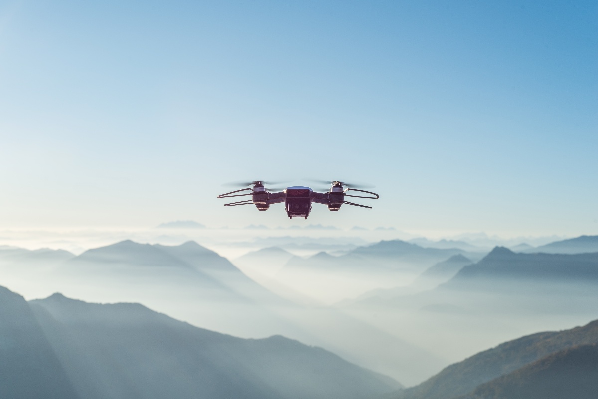
Notably, it has been implemented to address environmental concerns. In the 2021 reality TV series “Down to Earth,” surveyors with LiDAR technology collect data to address Louisiana's shrinking coastline, a place that faces some of the highest land loss rates in the world—due to both human-made and natural causes. The Morris P. Herbert team (MPH), a group participating in the project, deploys a LiDAR drone to survey over 200 acres of marshlands.
Lee Drennan, the R&D and training coordinator with MPH, explains, "We've used the mdLiDAR3000 for landfills, construction projects, and marsh restoration areas because the LiDAR really lends itself to anything involving volume calculation. Not only can we do the project faster and more efficiently, but we can provide a better product since the LiDAR point cloud is so dense."
Effective sensors are vital for collecting accurate data but concern safety as well. For example, in the case of automobiles, it is important these sensors can detect objects in challenging conditions—including high heat, humidity, and freezing cold temperatures. To ensure LiDAR sensors can function well in these settings, they ought to go through a series of strict environmental tests, reassuring their small radar reflectors properly sense the proximity of a child next to a car or a pedestrian crossing the street between moving vehicles.
LiDAR will continue to play vital roles in autonomous vehicle innovations, 3D mapping to assist emergency response operations, restoring our shorelines, and much much more. And putting them through rigorous environmental testing before they’re deployed ensures they'll continue doing so effectively.


